

Project information
- Category: Android app.
- Project URL: PlayStore
Project Details.
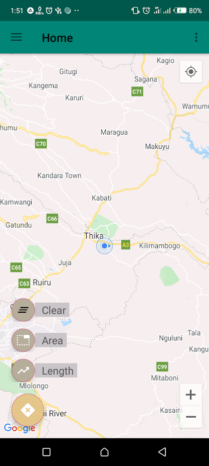
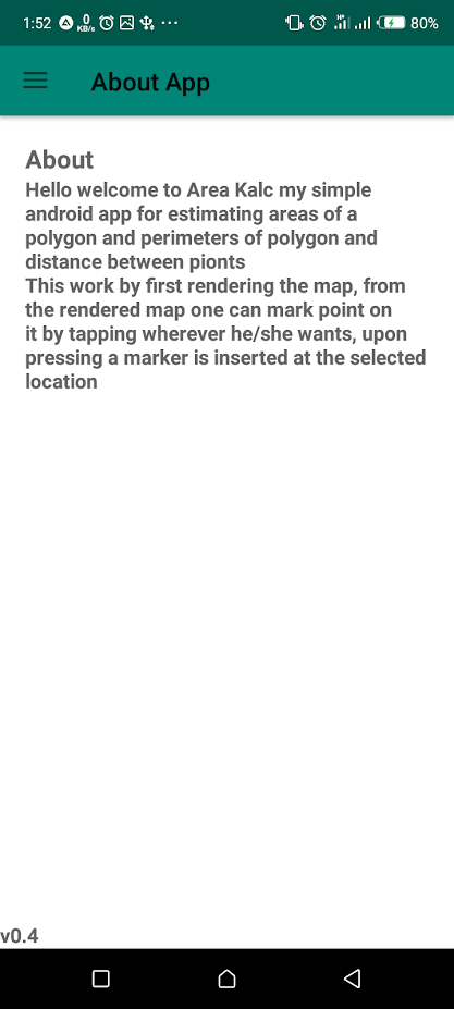
This app I designed to serve the purpose of calculating area of polygons and distances.
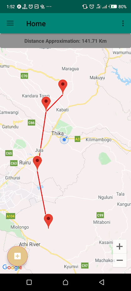
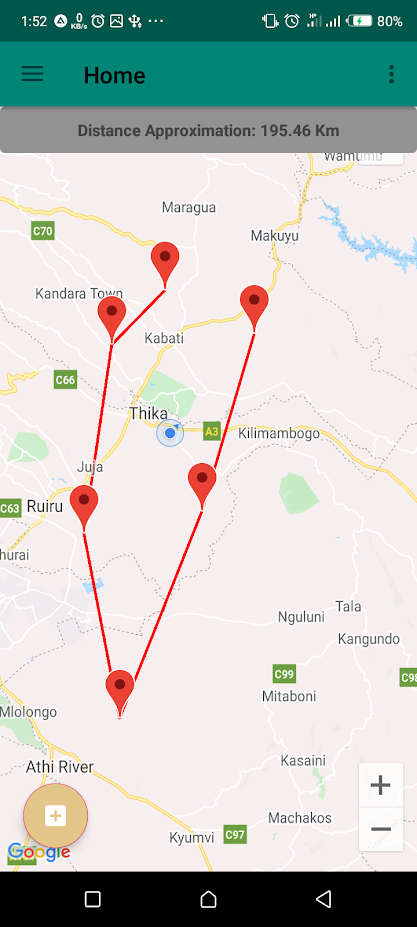
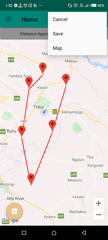
The user select either to calculate distance or area, both these options require the user to mark points on the map that is rendered on the screen. Markers are used to point the location where tha user clicked.
A line is drawn that follows the markers and the ssiatnce it represent on the ground is used as the distance.
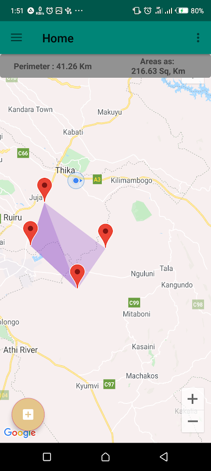
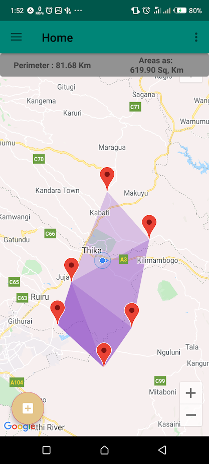
Once more than two points are marked, a polygon is drawn and a color is used to fill it, making it more noticable. There exists several ways that the enclosed are can have its area computed, the computed area represents the area on the actual ground.
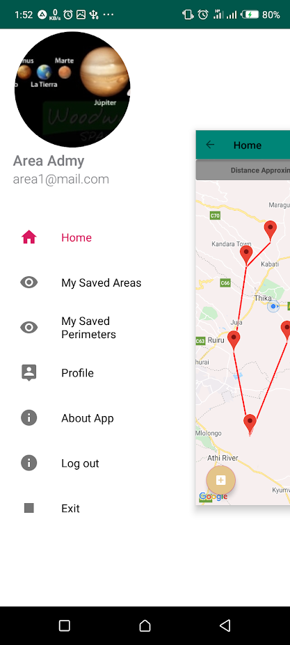
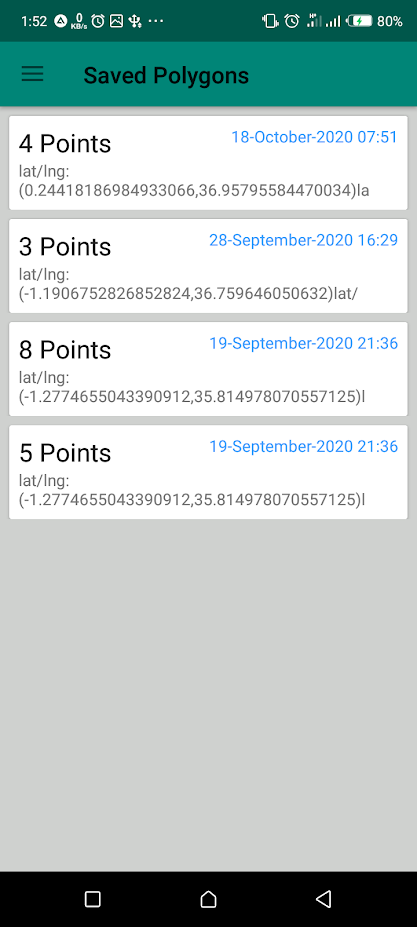
Once several markers are marked, there is an option that lets the user to save the polygon or the polyline. This creates a convinience because the saved markers can be retrieved later.